古地図一覧
Showing 826–850 of 1001 results
-
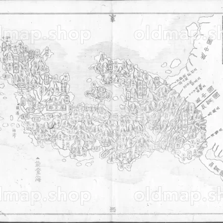
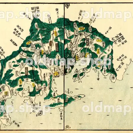
能登国 – 国郡全図 上巻 天保8年(1837)
¥1,980 カートに入れる -
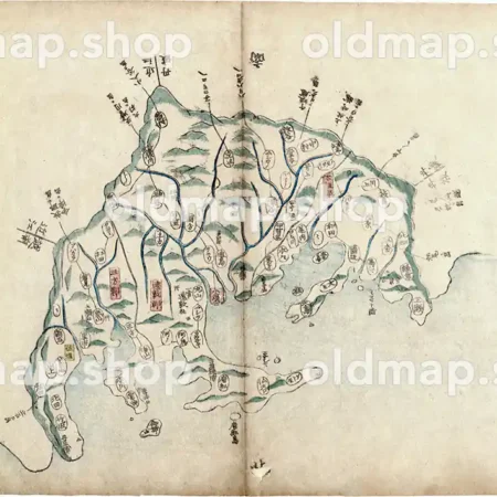
能登国 – 大日本国細図 東国之部 上 元治2年(1865)
¥1,320 カートに入れる -

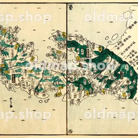
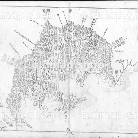
能登国 – 大日本輿地便覧 乾 天保5年(1834)
¥1,980 カートに入れる -

臨済宗大本山妙心寺鳥瞰図 昭和9年(1934) – 鳥瞰図
¥11,000 カートに入れる -
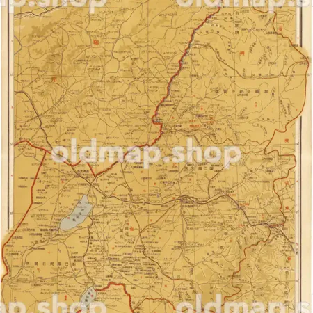
興安北省全図 22図 昭和18年(1943) – 満洲帝国分省地図
¥11,000 カートに入れる -
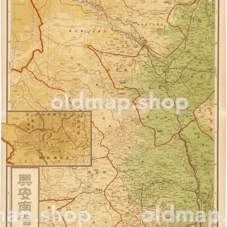
興安南省全図 20図 昭和18年(1943) – 満洲帝国分省地図
¥11,000 カートに入れる -
興安東省全図 21図 昭和18年(1943) – 満洲帝国分省地図
¥11,000 カートに入れる -
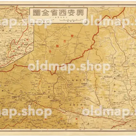
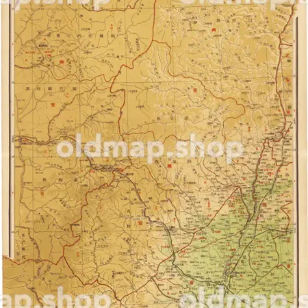
興安西省全図 19図 昭和18年(1943) – 満洲帝国分省地図
¥11,000 カートに入れる -
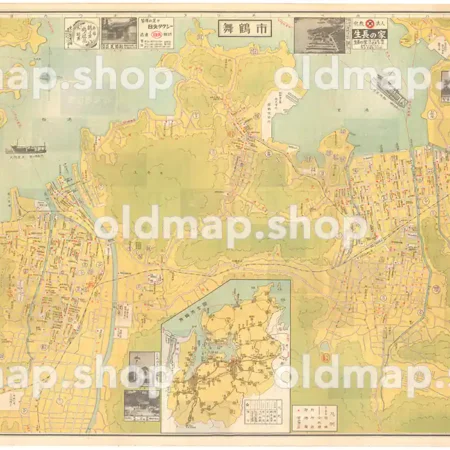
舞鶴市 商工観光案内図 昭和30年(1955)
Price range: ¥7,700 through ¥11,000 カートに入れる This product has multiple variants. The options may be chosen on the product page -
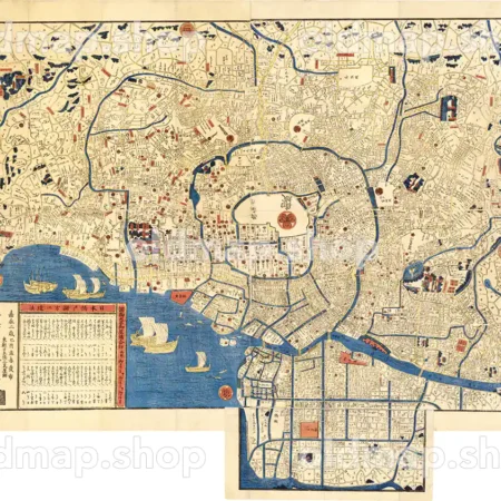
芝三田二本榎 高輪辺絵図 嘉永3年(1850) – 江戸切絵図
Price range: ¥5,500 through ¥16,500 カートに入れる This product has multiple variants. The options may be chosen on the product page -
芝区全図 明治37年(1904) – 東京十五区分
Price range: ¥3,300 through ¥6,600 カートに入れる This product has multiple variants. The options may be chosen on the product page -
芝愛宕下西ノ久保図 嘉永2年(1849) – 江戸切絵図
Price range: ¥5,500 through ¥16,500 カートに入れる This product has multiple variants. The options may be chosen on the product page -
芦屋市地図 昭和47年(1972)
¥11,000 カートに入れる -
芦屋市街図 昭和39年(1964)
¥11,000 カートに入れる -

若松城下絵図 安政年間(1854-1860)
Price range: ¥3,300 through ¥12,100 カートに入れる This product has multiple variants. The options may be chosen on the product page -

若松城下絵図 正保3年(1646)
Price range: ¥3,300 through ¥12,100 カートに入れる This product has multiple variants. The options may be chosen on the product page -
若狭国 – 国郡全図 上巻 天保8年(1837)
¥1,980 カートに入れる -
若狭国 – 大日本国細図 東国之部 上 元治2年(1865)
¥1,320 カートに入れる -
若狭国 – 大日本輿地便覧 乾 天保5年(1834)
¥1,980 カートに入れる -
茨城県全図 大正10年(1921) – 金刺分県図
¥11,000 カートに入れる -
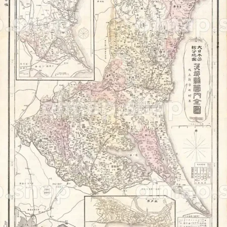
茨城県管内全図 明治39年(1906) – 大日本管轄分地図
Price range: ¥5,500 through ¥11,000 カートに入れる This product has multiple variants. The options may be chosen on the product page -
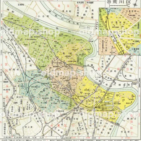
荒川区 昭和38年(1963) – 東京都区分地図
¥1,100 カートに入れる -
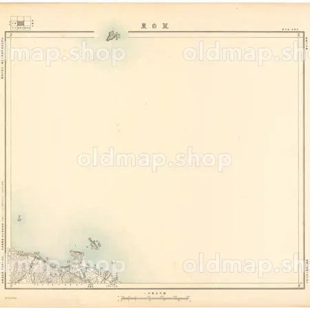
荳白里 長葥十五号 昭和10年(1935) – 朝鮮五万分一図
¥7,700 カートに入れる -
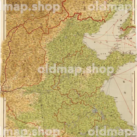
華北詳細図 2図 昭和18年(1943) – 満洲帝国分省地図
¥11,000 カートに入れる -
萬世御江戸絵図 嘉永2年(1849) – 江戸切絵図
Price range: ¥5,500 through ¥16,500 カートに入れる This product has multiple variants. The options may be chosen on the product page